
Car plates FSW Capital Świebodzin | Seat Świebodzin Area 937.4 km² | |
 | ||
Points of interest Christ the King, Kloster Paradies, Zoo Port 2000, Burschener Schleife, Zamek | ||
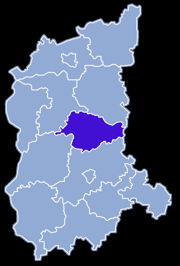
Świebodzin County (Polish: powiat świebodziński) is a unit of territorial administration and local government (powiat) in Lubusz Voivodeship, western Poland. It came into being on January 1, 1999, as a result of the Polish local government reforms passed in 1998. Its administrative seat and largest town is Świebodzin, which lies 35 km (22 mi) north of Zielona Góra and 57 km (35 mi) south of Gorzów Wielkopolski. The only other town in the county is Zbąszynek, lying 20 km (12 mi) east of Świebodzin.
Contents
Map of %C5%9Awiebodzin County, Poland
The county covers an area of 937.45 square kilometres (362.0 sq mi). As of 2006 its total population is 55,989, out of which the population of Świebodzin is 21,679, that of Zbąszynek is 5,087, and the rural population is 29,223.
Neighbouring counties
Świebodzin County is bordered by Międzyrzecz County to the north, Nowy Tomyśl County to the east, Zielona Góra County to the south, Krosno Odrzańskie County to the south-west and Sulęcin County to the north-west.
Administrative division
The county is subdivided into six gminas (two urban-rural and four rural). These are listed in the following table, in descending order of population.