
Car plates DSW Area 742.9 km² Capital Świdnica | Seat Świdnica Population 159,323 (2009) Team Polonia Świdnica | |
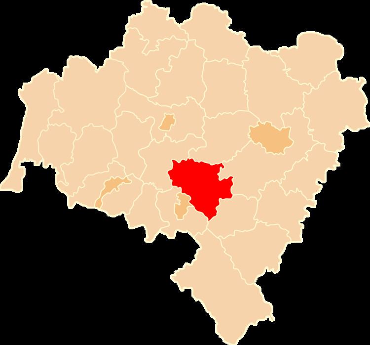 | ||
Gminas Total 8 (incl. 2 urban)ŚwidnicaŚwiebodziceGmina DobromierzGmina Jaworzyna ŚląskaGmina MarcinowiceGmina StrzegomGmina ŚwidnicaGmina Żarów Points of interest Peace Church in Świdnica, Książ Landscape Park, Ślęża Landscape Park, Muzeum Przemysłu i Kolejnict, Kaufmannsmuseum Destinations Świdnica, Świebodzice, Strzegom, Jaworzyna Śląska, Krzyżowa - Świdnica County | ||
Świdnica County (Polish: powiat świdnicki) is a unit of territorial administration and local government (powiat) in Lower Silesian Voivodeship, south-western Poland. It came into being on January 1, 1999, as a result of the Polish local government reforms passed in 1998. The county covers an area of 742.9 square kilometres (286.8 sq mi). Its administrative seat is Świdnica, and it also contains the towns of Świebodzice, Strzegom, Jaworzyna Śląska and Żarów.
Contents
Map of %C5%9Awidnica County, Poland
As at 2009 the total population of the county is 159,323, out of which the population of Świdnica is 60,354, that of Świebodzice is 23,126, that of Strzegom is 16,782, that of Żarów is 6,902, that of Jaworzyna Śląska is 5,240, and the rural population is 47,933.
Neighbouring counties
Świdnica County is bordered by Środa Śląska County to the north, Wrocław County to the north-east, Dzierżoniów County to the south, Wałbrzych County to the south-west and Jawor County to the north-west.
Administrative division
The county is subdivided into eight gminas (two urban, three urban-rural and three rural). These are listed in the following table, in descending order of population.