
Area 248.3 km² Local time Monday 2:02 AM | Phone number 0265-39-2001 Population 1,019 (Oct 2016) | |
 | ||
Weather -4°C, Wind NE at 3 km/h, 95% Humidity Points of interest Mt. Okuchausu, Otakayama, Torikurayama, Kurokawayama | ||
Ōshika (大鹿村, Ōshika-mura) is a village located in Shimoina District in southern Nagano Prefecture, in the Chūbu region of Japan. As of 1 October 2016, the village had an estimated population of 1,019 and a population density of 4.1 persons per km². Its total area was 248.28 square kilometres (95.86 sq mi).
Contents
- Map of Oshika Shimoina District Nagano Prefecture Japan
- Geography
- Surrounding municipalities
- History
- Education
- Railway
- Highway
- References
Map of Oshika, Shimoina District, Nagano Prefecture, Japan
Geography
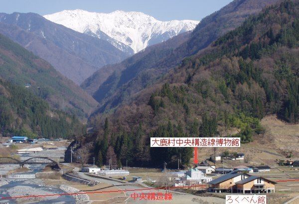
Ōshika is located mountainous southern of Nagano Prefecture, between the Ina Mountains and the Akaishi Mountains.
Surrounding municipalities
History
The area of present-day Ōshika was part of ancient Shinano Province. The village of Ōshika was established on April 1, 1889 with the establishment of the municipalities system.
Education
Ōshika has one public elementary school and one public middle school operated by the village government. The village does not have a high school.
Railway
Highway
References
Ōshika, Nagano Wikipedia(Text) CC BY-SA