Rahul Sharma (Editor)

Ōhara, Okayama

Updated on
Edit
Like
Comment
Share on FacebookTweet on TwitterShare on LinkedInShare on Reddit
Country
  
Japan

Area
  
54.48 km²

District
  
Aida District, Okayama

Flower
  
Lily

Prefecture
  
Okayama Prefecture

Population
  
4,630 (2003)

Region
  
Chūgoku region

Ōhara, Okayama

Merged
  
March 31, 2005 (now part of Mimasaka)

Time zone
  
Japan Standard Time (UTC+9)

Weather
  
-1°C, Wind N at 6 km/h, 96% Humidity

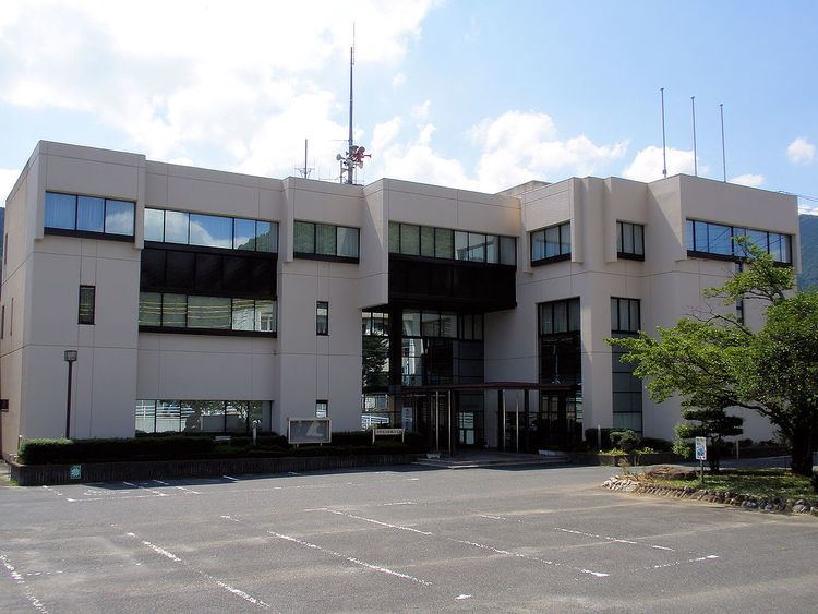
Ōhara (大原町, Ōhara-chō) was a town located in Aida District, Okayama Prefecture, Japan.

Contents

As of 2003, the town had an estimated population of 4,630 and a density of 84.99 persons per km². The total area was 54.48 km².

On March 31, 2005, Ōhara, along with the towns of Mimasaka, Aida and Sakutō, the village of Higashiawakura (all from Aida District), and the town of Katsuta (from Katsuta District), was merged to create the city of Mimasaka.

Adjoining municipalities

  • Okayama Prefecture
  • Sakutō
  • Nishiawakura
  • Higashiawakura
  • Katsuta
  • Hyōgo Prefecture
  • Sayō
  • Education

  • Ōhara Elementary School
  • Ōhara Junior High School
  • Okayama Prefectural Ōhara High School (Closure in 2006)
  • Railways

  • Chizu Express
  • Chizu Line
  • Miyamoto Musashi Station - Ōhara Station
  • Road

  • National highways:
  • Route 373
  • Route 429
  • Prefectural roads:
  • Okayama Prefectural Route 5 (Sakutō-Ōhara)
  • Okayama Prefectural Route 240 (Shimoshō-Sayō)
  • Okayama Prefectural Route 357 (Kajinami-Tateishi)
  • Notable places and events

  • Village of Miyamoto Musashi
  • Ōhara-shuku (Shukuba)
  • References

    Ōhara, Okayama Wikipedia