Girish Mahajan (Editor)

Katsuta, Okayama

Updated on
Edit
Like
Comment
Share on FacebookTweet on TwitterShare on LinkedInShare on Reddit
Country
  
Japan

Area
  
87.29 km²

Population
  
3,660 (2003)

Region
  
Chūgoku region

Prefecture
  
Okayama Prefecture

Local time
  
Saturday 1:42 PM

District
  
Katsuta District, Okayama

Flower
  
Lily

Katsuta, Okayama

Merged
  
March 31, 2005 (now part of Mimasaka)

Time zone
  
Japan Standard Time (UTC+9)

Weather
  
9°C, Wind NW at 21 km/h, 47% Humidity

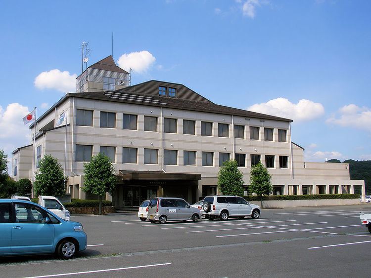
Katsuta (勝田町, Katsuta-chō) was a town located in Katsuta District, Okayama Prefecture, Japan.

Contents

As of 2003, the town had an estimated population of 3,660 and a density of 41.93 persons per km². The total area was 87.29 km².

On March 31, 2005, Katsuta, along with the towns of Mimasaka (former), Aida, Ōhara and Sakutō, and the village of Higashiawakura (all from Aida District), was merged to create the city of Mimasaka.

Adjoining municipalities

  • Okayama Prefecture
  • Mimasaka (town)
  • Sakutō
  • Ōhara
  • Nishiawakura
  • Shōō
  • Nagi
  • Tottori Prefecture
  • Wakasa
  • Education

  • Katsuta Elementary School
  • Katsuta-Higashi Elementary School
  • Kajinami Elementary School
  • Katsuta Junior High School
  • Road

  • National highways:
  • Route 429
  • Prefectural roads:
  • Okayama Prefectural Route 7 (Chizu-Katsuta)
  • Okayama Prefectural Route 51 (Mimasaka-Nagi)
  • Okayama Prefectural Route 356 (Gyōhō-Katsuta)
  • Okayama Prefectural Route 357 (Kajinami-Tateishi)
  • Okayama Prefectural Route 388 (Magata-Mimasaka)
  • Okayama Prefectural Route 479 (Seto-Munakake)
  • References

    Katsuta, Okayama Wikipedia