
Time zone EET (UTC+2) Licence plate 39 Area code 0288 | Elevation 100 m (330 ft) Postal code 39050 Population 2,046 (2011) | |
 | ||
District Kırklareli central District | ||
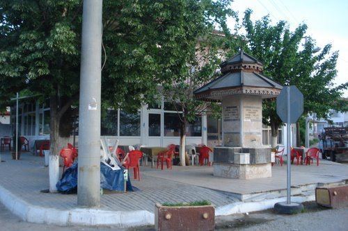
Pel cula inece
İnece is a belde (town) in Kırklareli Province, Turkey
Contents
- Pel cula inece
- Map of C4B0nece KazC4B1mpaC59Fa Mahallesi 39100 C4B0nece Belediyesi2FKC4B1rklareli Merkez2FKC4B1rklareli Turkey
- Ekopazar 1 haziran 2014 inece belediyesi
- Geography
- History
- Notable Natives
- References
Map of %C4%B0nece, Kaz%C4%B1mpa%C5%9Fa Mahallesi, 39100 %C4%B0nece Belediyesi%2FK%C4%B1rklareli Merkez%2FK%C4%B1rklareli, Turkey
Ekopazar 1 haziran 2014 inece belediyesi
Geography
İnece is in the central district (Kırklareli) of the province. It is situated on the Turkish state highway which connects Kırklareli to Edirne. At 41°41′N 27°04′E İnece is to the west of Kırklaeli at a distance of 13 kilometres (8.1 mi).The population of the town is 2046 as of 2011.
History
During the Ottoman Empire era İnece (then known as Enidjiya) was founded by Bulgarians. The first mention to the settlement in Ottoman documents was in 1677. During the First Balkan War along with Turkish settlements around, it was captured by Bulgaria on 12 September 1912. But when it was returned to Ottoman Empire in the Second Balkan War on 21 July 1913 the Bulgarian population left the settlement and they were replaced by Turkish people from various Balkan countries which annexed Ottoman territory in Western Thrace. Although the settlement was captured by Greece in 1920, it was returned to Turkey on 10 November 1922. In 1954 the settlement was declared a seat of township.