
Country Vietnam Population 29,015 (2004) | Province Kon Tum Province Local time Sunday 5:14 PM | |
 | ||
Weather 24°C, Wind NE at 18 km/h, 64% Humidity | ||
Đắk Tô is a village in the Central Highlands of Vietnam and in the so-called "tri-border" area where the borders of Vietnam, Laos, and Cambodia come together.
Contents
Map of %C4%90%E1%BA%AFk T%C3%B4, Kon Tum Province, Vietnam
Geography
Located just north of the Vietnamese town of Tan Canh (nicknamed "Tin Can" by American GIs), Dak To is populated by a Montagnard tribal people known as the Degar. Dak To is in a lush region of forest-covered mountains and deep valleys, with cool and refreshing streams in abundance.
History
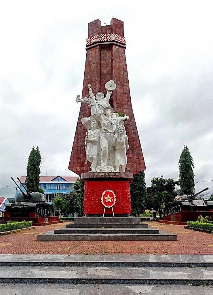
During the Vietnam War, Dak To was viewed as a strategic area because of its proximity to a major branch of the Ho Chi Minh trail, which Hanoi maintained through the neighboring country of Laos. It was the site of the Battle of Dak To.
Industry
It is part of the Kon Tum province industrial area.
References
Đắk Tô Wikipedia(Text) CC BY-SA