
Area 4.82 km² | Local time Sunday 11:11 AM | |
 | ||
Weather 21°C, Wind S at 10 km/h, 36% Humidity | ||
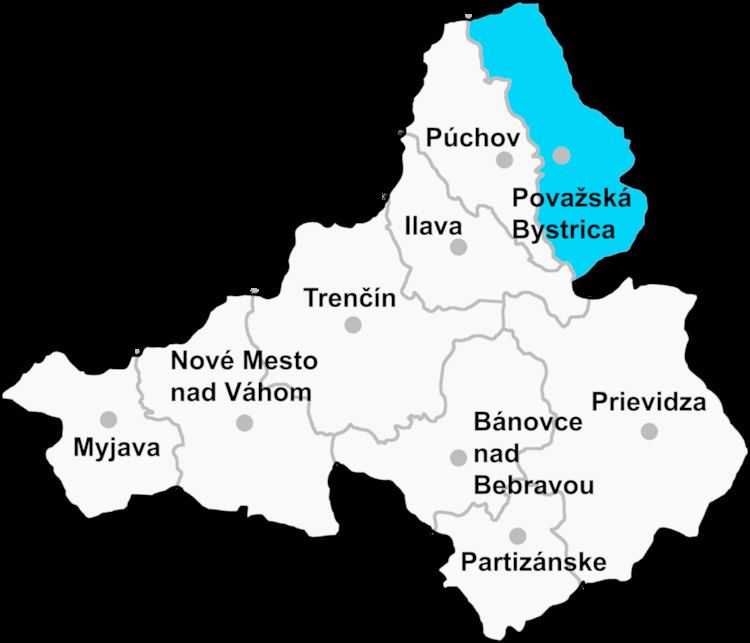
Ďurďové (Hungarian: Gergőfalva) is a village and municipality in Považská Bystrica District in the Trenčín Region of north-western Slovakia.
Contents
Map of 018 22 %C4%8Eur%C4%8Fov%C3%A9, Slovakia
History
In historical records the village was first mentioned in 1393.
Geography
The municipality lies at an elevation of 381 metres (1,250 ft) and covers an area of 4.815 km² (1.859 mi²). It has a population of about 192.
References
Ďurďové Wikipedia(Text) CC BY-SA