
Elevation 117 m | Area 12.14 km² | |
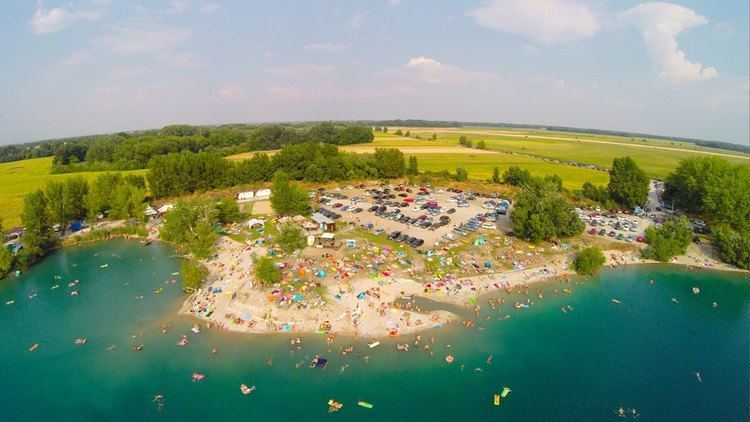 | ||
Snorkeling in lake ierny brod ierna voda
Čierna Voda (Hungarian: Feketenyék) is a village and municipality in Galanta District of the Trnava Region of southwest Slovakia.
Contents
Map of %C4%8Cierna Voda, Slovakia
Geography
The municipality lies at an elevation of 120 metres and covers an area of 12.142 km². It has a population of about 1410 people.
History
In the 9th century, the territory of Čierna Voda became part of the Kingdom of Hungary. In historical records the village was first mentioned in 1217. After the Austro-Hungarian army disintegrated in November 1918, Czechoslovak troops occupied the area, later acknowledged internationally by the Treaty of Trianon. Between 1938 and 1945 Čierna Voda once more became part of Miklós Horthy's Hungary through the First Vienna Award. From 1945 until the Velvet Divorce, it was part of Czechoslovakia. Since then it has been part of Slovakia.