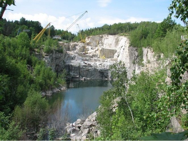
Elevation 340 m Local time Sunday 9:53 AM | Postal code 790 54 Area 9.96 km² | |
 | ||
Weather 19°C, Wind SW at 19 km/h, 40% Humidity Points of interest Burg Kaltenštejn, Píšťala, Velký rybnik | ||
Nerez ern voda
Černá Voda (German Schwarzwasser, both meaning "black water") is a village and municipality (obec) in Jeseník District in the Olomouc Region of the Czech Republic.
Contents
- Nerez ern voda
- Map of 790 54 C48CernC3A1 Voda Czechia
- Projekt ern voda 2015 horor found footage studentsk film
- References
Map of 790 54 %C4%8Cern%C3%A1 Voda, Czechia
The municipality covers an area of 9.96 square kilometres (3.85 sq mi), and has a population of 629 (as at 3 July 2006).
Černá Voda lies approximately 9 kilometres (6 mi) north of Jeseník, 80 km (50 mi) north of Olomouc, and 197 km (122 mi) east of Prague.
Projekt ern voda 2015 horor found footage studentsk film
References
Černá Voda Wikipedia(Text) CC BY-SA
