
Elevation 1,339 m | ||
 | ||
Similar Dimitor, Borja, Lisina, Klekovača, Manjača | ||
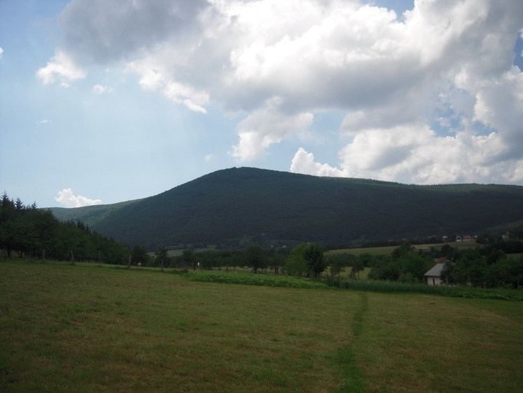
Čemernica is the mountain in the Central Bosnia, surrounded by the river Vrbas, and its confluences of Ugar and Vrbanja river. It flows in the direction North-South. The highest peak of the Čemernica is located at an altitude of 1.338 meters. It is located south of Banja Luka, in the areas which connected the municipalities of Mrkonjić Grad, Skender Vakuf and Banja Luka. In its foothills are the cities of Kotor Varoš (in the northeast) and Skender Vakuf (in the east), as well as the settlement of Bočac (in the west). Under its northern slopes there is hydroelectric power plant reservoir of "Bočac".
Map of %C4%8Cemernica, Bosnia and Herzegovina
Along its southern slopes passing regional road Banja Luka - Skender Vakuf - Travnik, as well as its branch Skender Vakuf - Imljani - Korićani (via Ilomska).
Čemernica is the source of many rivers, streams and creeks, and the largest waterways are Cvrcka and Jakotina. The sources of these rivers are on its southwestern slopes. It rich in high-quality forest resources, especially coniferous and mixed (spruce - abies - beech) woods, with Bosnian endemic quarry mammals.