
Surface area 84 km (32 sq mi) Residence time 11 months Area 84 km² Outflow location Sog Max. depth 114 m (374 ft) | Average depth 34 m (112 ft) Islands Sandey Mean depth 34 m Location Þingvellir National Park Water volume 2.856 km3 (0.685 cu mi) | |
 | ||
Dry fly fishing lake ingvallavatn thingvallavatn
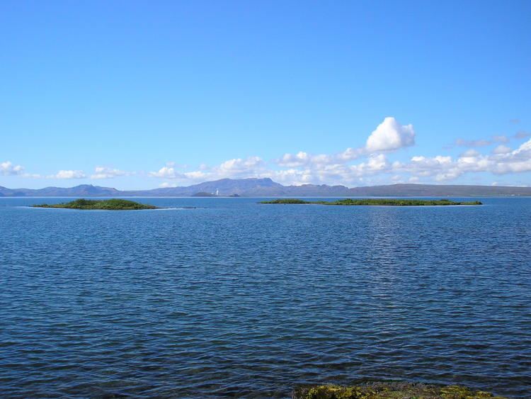
Þingvallavatn, anglicised as Thingvallavatn, is a rift valley lake in southwestern Iceland. With a surface of 84 km² it is the largest natural lake in Iceland. Its greatest depth is 114 m. At the northern shore of the lake, at Þingvellir (after which the lake is named), the Alþingi, the national parliament, was founded in the year 930, and held its sessions there until 1799 and still as of today the name Alþingi Íslendinga is carried by the parliament of Iceland.
Contents
- Dry fly fishing lake ingvallavatn thingvallavatn
- Map of C39Eingvallavatn Iceland
- ingvallavatn lake iceland 2014
- References
Map of %C3%9Eingvallavatn, Iceland
The lake lies partially within Þingvellir National Park. The volcanic origin of the islands in the lake is clearly visible. The cracks and faults around it, of which the Almannagjá ravine is the largest, is where the Eurasian and North American tectonic plates meet. Silfra fissure is a popular scuba and snorkeling site. The only outflow from lake Þingvallavatn is the river Sog.
One of the noted features of the lake is the presence of four morphs of the Arctic charr.