
Province Province of Huesca | Elevation 3,073 m | |
 | ||
Parent range Massif du Mont-Perdu (Pyrenees) First ascent 000000001891-08-12-0000August 12, 1891 by Henri Brulle, C. Passet and François Bernat-Salles Similar Pic de la cascade oriental, Tour du Marboré, Casque du Marboré, Pic de Montferrat, Pic de Bugatet | ||
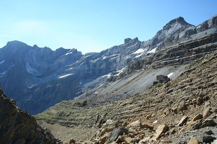
Épaule du Marboré is a pyrenean summit, culminating at 3,073 m (10,082 ft) in the Monte Perdido Range, marking the Franco-Spanish border. It lies on the Greenwich meridien.
Contents
Map of %C3%89paule du Marbor%C3%A9, 22375, Huesca, Spain
Topography
The Tour du Marboré forms part of the range above Cirque de Gavarnie. It marks the border between the Pyrenees National Park of France and the Ordesa y Monte Perdido National Park of Spain.
On the French side, it is located in the commune of Gavarnie in the canton of Luz-Saint-Sauveur, Hautes-Pyrénées department, Midi-Pyrénées region.
References
Épaule du Marboré Wikipedia(Text) CC BY-SA