
Postal code 42xxx Climate BSk Elevation 1,020 m Area code 0332 | Time zone EET (UTC+2) Licence plate 42 Website cumra.gov.tr Local time Sunday 5:55 AM | |
 | ||
Weather 6°C, Wind N at 11 km/h, 89% Humidity | ||
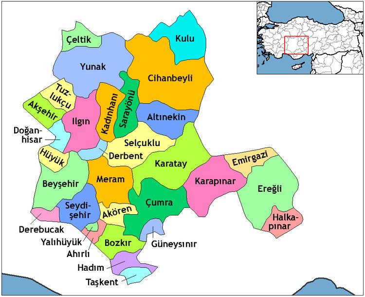
Çumra is a town and district of Konya Province in the Central Anatolia region of Turkey. According to 2000 census, population of the district is 104,576 of which 42,308 live in the town of Çumra.
Contents
Map of %C3%87umra, 42500 %C3%87umra%2FKonya, Turkey
Çumra town
The town of Çumra is at 37°34′30″N 32°46′29″E at an altitude of 1,020 m. It is an important stop on the Istanbul to Baghdad railway. It is central to the 500 km²/120,000 acre Çumra irrigation zone, in the Konya plain, that was established in 1912.
History
Neolithic (c. 8000 BC) archaeological discoveries have been found at Çatalhöyük.
In the 12th century the Konya plain experienced its second great cultural period, when the city became the capital of the Seljuk Turks.
References
Çumra Wikipedia(Text) CC BY-SA