
Time zone EET (UTC+2) Licence plate 61 Area code 0462 | Elevation 275 m (900 ft) Postal code 61000 Population 11,077 (2012) | |
 | ||
District Trabzon central district | ||
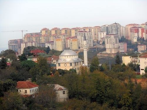
Çukurçayır is a town in the central district (Trabzon) of Trabzon Province, Turkey. It is situated to the west of Turkish state highway which connects Trabzon to Gümüşhane, Maçka and Sumela Monastery. Çukurçayır is almost merged to the southern quarters of Trabzon at 40°58′N 44°49′E. The population of the Çukurçayır was 11077 as of 2011. In 1995 it was declared a seat of township. According to mayor's page a monastery and a bridge are the historically important ruins of the town.
Map of %C3%87ukur%C3%A7ay%C4%B1r, %C3%87ukur%C3%A7ay%C4%B1r Mahallesi, 61000 Ortahisar%2FTrabzon, Turkey
References
Çukurçayır Wikipedia(Text) CC BY-SA