
Time zone IST (UTC+5:30) Elevation 735 m Local time Sunday 10:58 AM | 2011 census code 271338 Population 2,632 (2011) | |
 | ||
Weather 30°C, Wind SW at 14 km/h, 45% Humidity | ||
mizo hla thar 2016 zokhawthar br yma zokhawthar vangkhua
Zokhawthar is a village in the Champhai district of Mizoram, India. It is located in the Khawzawl R.D. Block, on the Indo-Burma border, near the Rih Dil lake. On the Mayanmar side is Khawmawi village accessible via a bridge built over the Harhva river.
Contents
- mizo hla thar 2016 zokhawthar br yma zokhawthar vangkhua
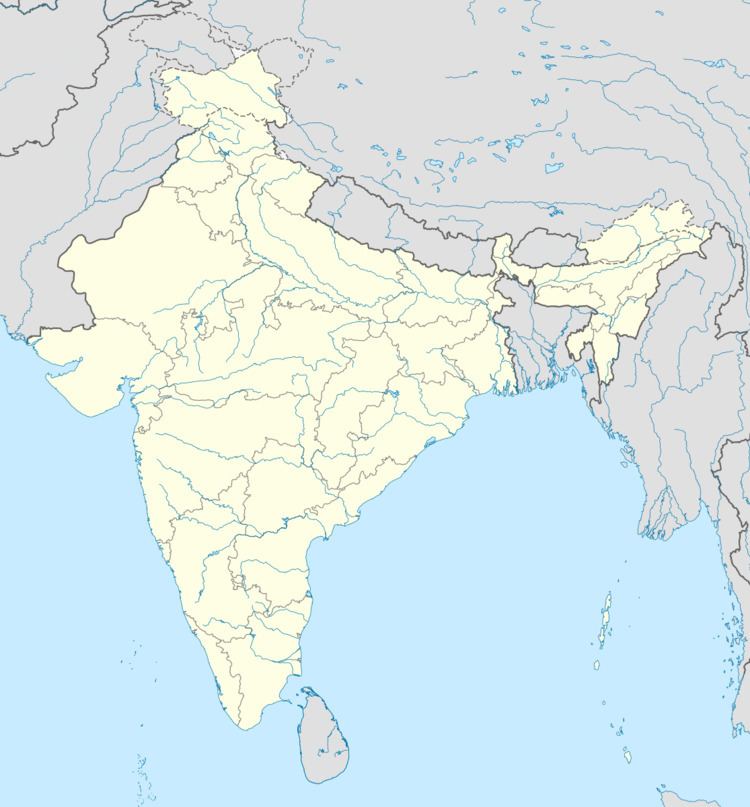
- Map of Zokhawthar Mizoram
- Zofest 2016 zokhawthar ah lo tel ve ngei ang che
- Demographics
- References
Map of Zokhawthar, Mizoram
Zofest 2016 zokhawthar ah lo tel ve ngei ang che
Demographics
According to the 2011 census of India, Zokhawthar has 501 households. The effective literacy rate (i.e. the literacy rate of population excluding children aged 6 and below) is 93.58%.
References
Zokhawthar Wikipedia(Text) CC BY-SA