
Postal Code 4834 Elevation 1,327 m Local time Sunday 6:47 AM Area code 03043 | Time zone EET (UTC+2) Car plates CM Area 34.64 km² Population 1,473 (15 Dec 2010) | |
 | ||
Weather 1°C, Wind N at 3 km/h, 67% Humidity | ||
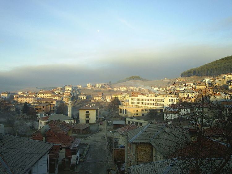
Zmeitsa (Bulgarian: Змейца) is a village in southwestern Bulgaria. It is located in the municipality of Dospat, Smolyan Province.
Contents
Map of 4834 Zmeitsa, Bulgaria
Geography
The village of Zmeitsa is located in the Western Rhodope Mountains. It is the easternmost settlement in the Chech region. The highest peak is Gioz Tepe - 1652 m.
Religion
Christian and Muslim
Public institutions
Local government office, library, kindergarten and school.
Sights
References
Zmeitsa Wikipedia(Text) CC BY-SA