
Founded 5 July 1561 Website Official website Area 70 km² Population 5,570 (2016) | Founded by José Antonio Rubio Elevation 2,550 m Local time Saturday 8:27 PM | |
 | ||
Time zone Colombia Standard Time (UTC-5) Weather 15°C, Wind E at 11 km/h, 78% Humidity | ||
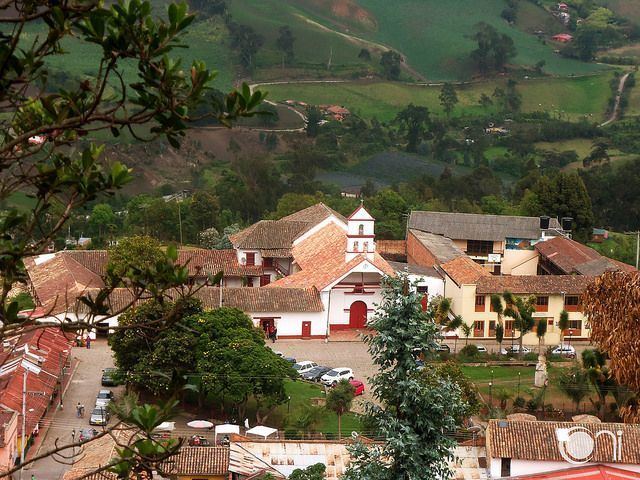
Zipacón ([sipaˈkon]) is a municipality and town of Colombia in the Western Savanna Province, part of the department of Cundinamarca. The urban centre of Zipacón is situated at an altitude of 2,550 metres (8,370 ft) on the Bogotá savanna, the southern flatlands of the Altiplano Cundiboyacense in the Eastern Ranges of the Colombian Andes. Zipacón borders Anolaima, Facatativá, La Mesa and Bojacá.
Contents
Map of Zipac%C3%B3n, Cundinamarca, Colombia
Etymology
The name Zipacón comes from Muysccubun and means "crying of the zipa".
History
In the times before the Spanish conquest, Zipacón was inhabited by the Muisca, organised in their loose Muisca Confederation. Zipacón was the site of meditation for the zipa. The settlement was at the border with the Panche, eternal enemies of the Muisca. It was in Zipacón where the Panche invaded when the Spanish conquistadors were conquering the Bogotá savanna.
The oldest evidences for agriculture of potatoes on the Bogotá savanna has been unearthed in Zipacón and dated at 3200 years BP. The setllement was inhabited since the Herrera Period, at least since 3270 BP. Rock art has been discovered in Zipacón.
Modern Zipacón was founded on July 5, 1561, by José Antonio Rubio.
Economy
Main economical activities of Zipacón are agriculture and livestock farming.