
 | ||
Zimzelen Glacier (Bulgarian: ледник Зимзелен, ‘Lednik Zimzelen’ \'led-nik 'zim-ze-leb) is the 3.7 km long and 2.5 km wide glacier on Pefaur (Ventimiglia) Peninsula, Danco Coast on the west side of Antarctic Peninsula, situated east of Krapets Glacier and west of Blériot Glacier It drains northwards, and flowing into the east arm of Salvesen Cove.
Contents
Map of Zimzelen Glacier, Antarctica
The glacier is named after the settlement of Zimzelen in Southern Bulgaria.
Location
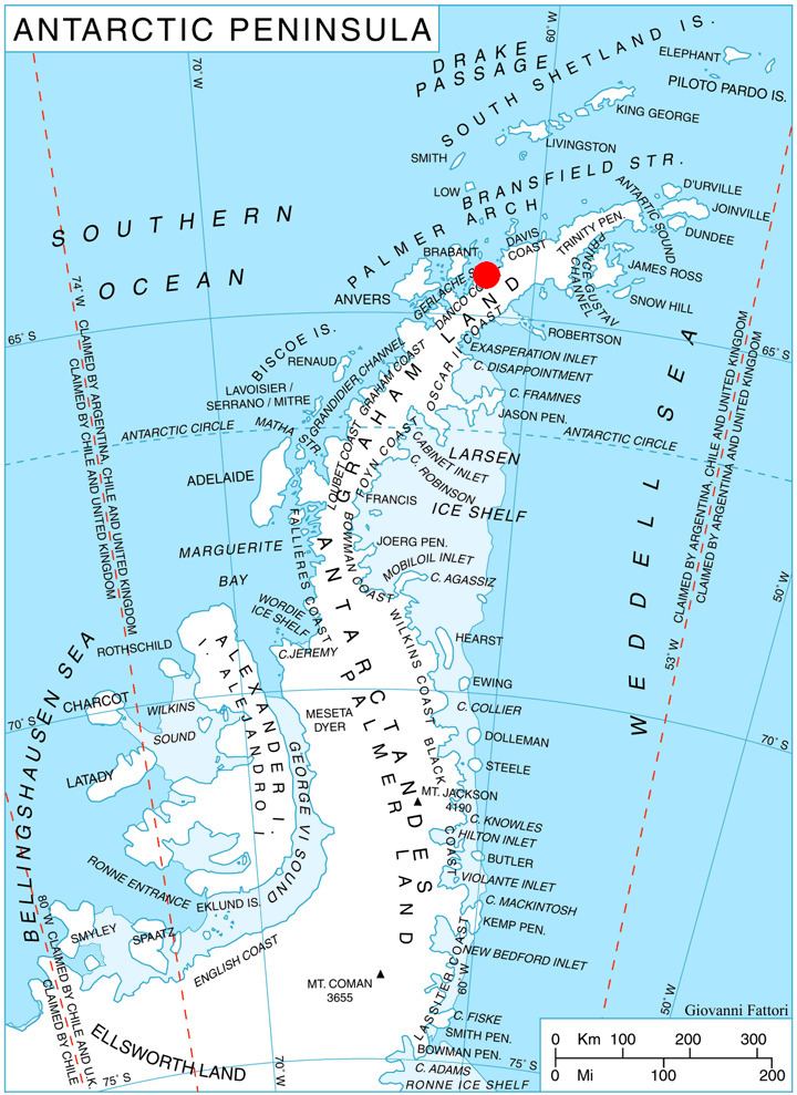
Zimzelen Glacier is centred at 64°27′00″S 61°17′40″W. British mapping in 1978.
Maps
References
Zimzelen Glacier Wikipedia(Text) CC BY-SA