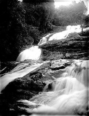
Length 100 km | ||
 | ||
Tributaries Left:MusiRight:Kihuhui | ||
Zigi River, in literature also often Sigi River (Swahili: Sigi Mto), is a river in the Tanga Region in Tanzania.
Contents
Map of Sigi River, Tanzania
The river rises in the Amani Nature Reserve in the Usambara Mountains, more precisely in Handei Mountains, at an altitude of 1130 meters and flows for 100 km long course and multiple changes of direction 40 km north of the town of Tanga in the Indian Ocean. Its tributaries are the Kihuhui (from south) and the Musi (from North).
Hydrometrie
Average monthly flow of Zigi measured at the hydrological station in Lanconi Estate, about 10 km above the Mabayani Dam in m³ / s (1957 - 1990). The Zigi flows stimulate time-dependent, like most rivers in the region.
References
Zigi River Wikipedia(Text) CC BY-SA
