
Time zone CET (UTC+1) Dialing code 0111 Area code 0111 Local time Saturday 11:12 PM | Postal code 4301 Population 10,483 (1 May 2009) | |
 | ||
Weather 9°C, Wind S at 6 km/h, 89% Humidity | ||
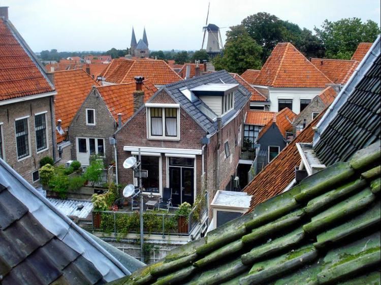
Zierikzee ( [ˈzi.rɪk.ˌseː]) is a small city, located on the former island of Schouwen in the Dutch province of Zeeland. It is a part of the municipality of Schouwen-Duiveland, and lies about 26 km southwest of Hellevoetsluis.
Contents
Map of Zierikzee, Netherlands
Zierikzee received city rights in 1248 and was an independent municipality until 1997. The city is connected to the Oosterschelde by a 2 km long canal.
In 2001, the town of Zierikzee had 10,313 inhabitants. The built-up area of the town was 3.0 km², and contained 4,295 residences. The statistical area "Zierikzee", which also can include the surrounding countryside, has a population of around 10,730.
In 1953, Zierikzee was damaged by the catastrophic North Sea flood of 1953. The English town of Hatfield sent help and a friendship has developed. The two towns have been twinned. There was a sea battle in 1304.
In 2015, the last surviving example of the city's defensive cannons; cast in 1552, was donated to the city by the British coastguard. The coastguard had recovered it from a commercial diver, during a criminal investigation. The diver had found it off the Kent coast.