
Admin. region Oberfranken Elevation 615 m (2,018 ft) Population 2,216 (31 Dec 2008) | District Hof Time zone CET/CEST (UTC+1/+2) Local time Sunday 12:54 PM | |
 | ||
Weather 14°C, Wind N at 14 km/h, 64% Humidity Points of interest Großer Waldstein, Saalequelle, Waldsteinburg, Oberfränkisches Bauernhofmuseum Kleinlosnitz, Haidberg bei Zell | ||
Bma alarm rathaus zell im fichtelgebirge bung
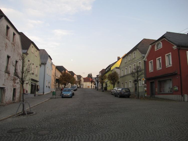
Zell im Fichtelgebirge, formerly Zell (official name until July 2007) is a market town in the district of Hof in Bavaria in Germany.
Contents
- Bma alarm rathaus zell im fichtelgebirge bung
- Map of Zell Germany
- Bma alarm volksschule zell im fichtelgebirge
- Geography
- References
Map of Zell, Germany
Bma alarm volksschule zell im fichtelgebirge
Geography
The heart of the market parish lies between the towns of Hof and Bayreuth, about 5 km from the B 2 federal road and about 10 km from the A 9 motorway. The River Saale rises on the Waldstein ridge in the Fichtelgebirge near Zell im Fichtelgebirge. The surrounding area may explored on some 30 kilometres of signposted hiking trails.
References
Zell im Fichtelgebirge Wikipedia(Text) CC BY-SA