
Elevation 0 m (0 ft) Area code 0183, 0345, 0347 Local time Sunday 10:51 AM | Established 1 January 1986 Time zone CET (UTC+1) Area 76.49 km² | |
 | ||
Postcode 4126–4128, 4230–4235, 4243, 4245 Weather 9°C, Wind SW at 8 km/h, 97% Humidity | ||
Zederik ( pronunciation ) is a municipality in the western Netherlands, in the province of South Holland. The municipality covers an area of 76.50 km2 (29.54 sq mi) of which 2.77 km2 (1.07 sq mi) is water. It had a population of 13,681 in 2014.
Map of Zederik, Netherlands
The municipality of Zederik was formed on 1 January 1986, through the merger of the former municipalities of Ameide, Hei- en Boeicop, Leerbroek, Lexmond, Meerkerk, Nieuwland, and Tienhoven. The municipality is named after the Old Zederik, a small canal running through its area.
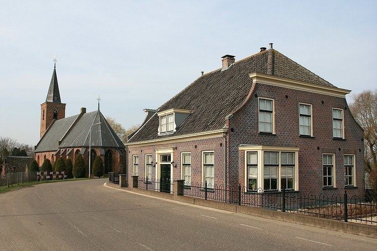
The population centres of Zederik consist of Ameide, Hei- en Boeicop, Leerbroek, Lexmond, Meerkerk, Nieuwland, and Tienhoven.
Dutch Topographic map of the municipality of Zederik, Sept. 2014.
References
Zederik Wikipedia(Text) CC BY-SA