District Šumperk Elevation 474 m Local time Sunday 7:56 AM | Postal code 789 01 Area 3.15 km² Population 225 (2006) | |
 | ||
Weather 8°C, Wind E at 8 km/h, 71% Humidity | ||
Zborov is a village and municipality (obec) in Šumperk District in the Olomouc Region of the Czech Republic.
Contents
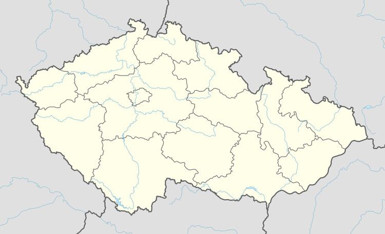
Map of 789 01 Zborov, Czechia
The municipality covers an area of 3.15 square kilometres (1.22 sq mi), and has a population of 225 (as at 3 July 2006).
Zborov lies approximately 11 kilometres (7 mi) west of Šumperk, 50 km (31 mi) north-west of Olomouc, and 174 km (108 mi) east of Prague. Háj peak is situated in the area which slope is used for skiing.
Etymology
The name is derived from personal Slavic name Zbor,
History
A first note about the village comes from 1464 when the village was sold the house of Tunklové z Brníčka a na Zábřehu. During Nazi occupation, a group of Zborov citizens was imprisoned for Western radio listening.
Demography
In 1930, 391 people lived in the place, including 5 Sudeten Germans. Population in 2011 was 279 people.
