 | ||
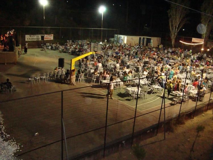
Zavlani (Greek: Ζαβλάνι) is a neighbourhood in the northeastern part of the city of Patras, 4 kilometres (2.5 mi) direct and 5 kilometres (3.1 mi) via road from the downtown core. The neighbourhood bears the football (soccer) club team named A.P.S. Zavlani and plays in the prefectural fourth division.
Contents
- Map of Zavlani Patras 264 41 Greece
- Nearest places
- Nearest neighbourhoods
- Information
- Geography
- History
- Sporting clubs
- References
Map of Zavlani, Patras 264 41, Greece
Nearest places
Nearest neighbourhoods
Information
The name is the corruption the name Zavr(l)os (Ζαβρ(λ)ος), during the Ottoman rule, the area was settled by Albanians. Other origin of the name is in thae are it had a family name Zavlanis in which is descended from the island of Zakynthos.
Geography
Zavlani is in a hilly residential setting with forests to the north. The neighborhood's length varies from 800 metres (2,600 ft) to 1 kilometre (3,300 ft), and its width ranges between 500 and 800 metres (1,600 and 2,600 ft). Its streets are approximately 8 to 10 kilometres (5 to 6 mi) long, of which 3 kilometres (2 mi) are main, and the remainder are residential.
History
The area were made up farmlands until when housing developments arrived in the 1960s and the 1970s, the housing and its population slowed in the late-1980s. Its main production consisted of olive, cattle and fruits and vegetables as well as other crops and the populationm before the arrival of the housing developments were rural, today they are manufacturing and services especially outside the neighbourhood.
