
Mountains Mount Kaputjugh | ||
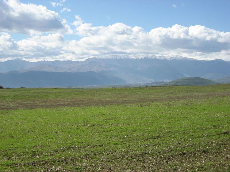 | ||
The Zangezur Mountains comprise a mountain range that defines the border between Armenia's southern province of Syunik and Azerbaijan's Nakhichevan Autonomous Republic. The second largest tracts of forests in Armenia are located in the Zangezur Mountains where they cover more than 20% of the territory of Syunik province and reach an elevation of 2,200-2,400 m (4,000 feet).
Contents
Map of Zangezur Mountains, Azerbaijan
Conservation
Part of Zangezur Mountains is included into Arevik National Park. Also there are three Prime Butterfly Areas (PBA) designated and one proposed at the eastern slopes of Zangezur Mountains.
References
Zangezur Mountains Wikipedia(Text) CC BY-SA