Neha Patil (Editor)

Zandvoorde, Zonnebeke

Updated on
Edit
Like
Comment
Share on FacebookTweet on TwitterShare on LinkedInShare on Reddit
Country
  
Belgium

Area
  
6.68 km²

Local time
  
Sunday 12:41 AM

Municipality
  
Zonnebeke

Postal code
  
8980

Province
  
West Flanders

Population
  
474 (1999)

Zandvoorde, Zonnebeke

Weather
  
8°C, Wind SW at 6 km/h, 86% Humidity

Zandvoorde is a village in the Belgian province of West Flanders and a part (deelgemeente) of the municipality of Zonnebeke. Zandvoorde is a rural village, in the rolling landscape of the southern part of the province.

Contents

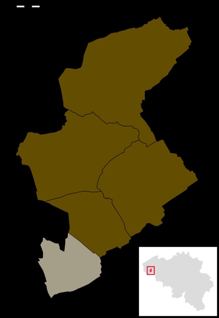
Map of Zandvoorde, 8980 Zonnebeke, Belgium

History

Old listings of the place date back to 1102, as Sanfort. "Sant" refers to sand (in modern Dutch: zand), "fort" refers to Ford (in modern Dutch: voorde), a shallow crossing in a watercourse.

The village was completely destroyed during World War I.

Landmarks

  • The Parish and its church are named after Saint Bartholomew. The current church dates from 1923–1925, after the old church had been destroyed during the First World War.
  • The Zantvoorde New British Cemetery is a Commonwealth War Graves Commission World War I military cemetery. In the village centre, there is a British war memorial, the The Household Cavalry Monument.
  • Trivia

  • In the north of the province of West Flanders, there's another village with the name Zandvoorde, a part of the city of Oostende
  • References

    Zandvoorde, Zonnebeke Wikipedia