
District Markaz Rif Dimashq Time zone EET (UTC+2) | ||
 | ||
Governorate | ||
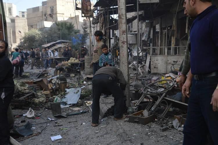
Zamalka (Arabic: زملكا) is a suburb of Damascus in Syria, located 3.5 kilometers (2.2 mi) east-northeast of Old Damascus. It is administratively a part of the Markaz Rif Dimashq District of the Rif Dimashq Governorate. Nearby localities include Jobar and Qaboun to west and northwest, Harasta and Arbin to north and northeast, Hamouriyah and Saqba to east, Kafr Batna to southeast, Ein Tarma to the south and Al-Maamouniye to southwest. The Aleppo - Damascus Highway is the districts boundary in the west, separating Zamalka from the Jobar municipality of Damascus.
Contents
Map of Zamalka, Syria
According to the Syria Central Bureau of Statistics, Zamalka had a population of 44,661 in the 2004 census.
History
Zamalka was visited by Syrian geographer Yaqut al-Hamawi in the early 13th-century, during Ayyubid rule. He noted that it was "a village of the Ghautah of Damascus. The Syrians often pronounce the name Zamluka."