
GNIS feature ID 691172 Local time Saturday 3:30 PM | Time zone Central (CST) (UTC-6) Elevation 127 m | |
 | ||
Weather 28°C, Wind NE at 8 km/h, 36% Humidity | ||
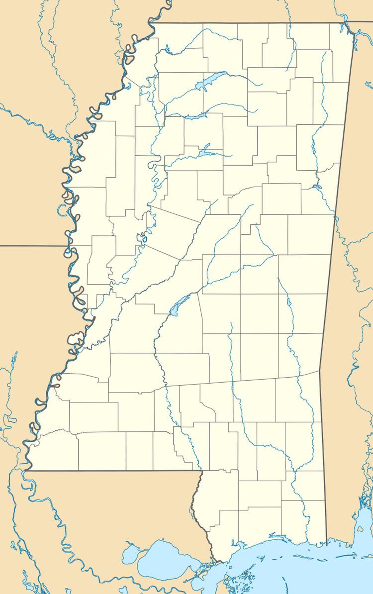
Zama (also, Ayres) is an unincorporated community in Attala County, Mississippi. On April 27, 2011, a tornado hit the Zama area as part of the April 25–28, 2011 tornado outbreak, causing heavy tree and power line damage. The tornado was classified as an EF-1, with estimated wind speeds of 95 mph (153 km/h; 83 kn). The tornado destroyed a barn in its path of destruction of 50 yards (46 m) wide as it travelled a path of 1 mile (1.6 km).
Map of Zama, MS 39090, USA
References
Zama, Mississippi Wikipedia(Text) CC BY-SA