
 | ||
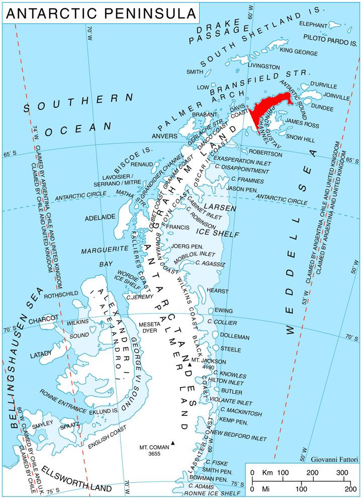
Zaldapa Ridge (Bulgarian: рид Залдапа, ‘Rid Zaldapa’ \'rid zal-'da-pa) is the predominantly ice-free ridge extending 4.6 km in east-west direction and 1.7 km wide on Yatrus Promontory in Graham Land, Antarctica, with its twin rocky summits rising to 383 (the west one) and 359 m respectively.
Contents
The ridge is named “after the ancient Thracian and Roman town of Zaldapa in Northeastern Bulgaria”.
Location
The summit of Zaldapa Ridge is located at 63°36′30″S 57°41′34″W, which is 4.55 km east-northeast of McCalman Peak, 7.06 km south of Abel Nunatak and 4.75 km west by south of Jade Point. German-British mapping in 1996.
Maps
References
Zaldapa Ridge Wikipedia(Text) CC BY-SA