
Country Area 2.8 km2 | ||
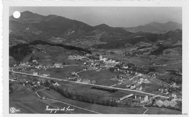
Zagorje ob Savi ( German: ) is a town in central Slovenia. It is the seat of the Municipality of Zagorje ob Savi. It is located in the valley of Medija Creek, a minor left-bank tributary of the Sava River, 52 km (32 mi) east of Ljubljana 36 km (22 mi) southwest of Celje, and 6 km (4 mi) west of Trbovlje. Traditionally the area was part of the Upper Carniola region. The entire municipality is now included in the Central Sava Statistical Region. The town is home to about 7,000 people. It includes the hamlets of Toplice (German: ) and Podvine.
Contents
- Map of Zagorje ob Savi
- Mawlch wisp vis nina gregl zagorje ob savi 4 4 2015 agility 3 clean run 2nd place
- Zagorje ob savi slovenia through time laps vs pictures mladinski center zagorje ob savi
- Name
- History
- References
Map of Zagorje ob Savi
Mawlch wisp (vis) & nina gregl, zagorje ob savi, 4 4 2015 , agility 3, clean run, 2nd place
Zagorje ob savi slovenia through time laps vs pictures mladinski center zagorje ob savi
Name
Zagorje was first mentioned as Sagor in written records of the Patriarchate of Aquileia dating to 1296. In written form it later also appears as Zaegor, Sager, Seger, and Cagoer. The name of the settlement was changed from Zagorje to Zagorje ob Savi in 1955. In the past the German name was Sagor.
History
Archaeological evidence shows that the area was already settled in the Late Bronze Age and Iron Age. In 1755 deposits of coal were discovered in the area and the towns economic development began. Coal mining was one of the areas main activities until 1995, when the last mines were closed. In 2010, Zagorje ob Savi was heavily affected by floods.