
Elevation 115 m (377 ft) Area code(s) +381(0)13 Area 23 km² Postal code 26344 | Time zone CET (UTC+1) Car plates VŠ Local time Sunday 4:19 PM Population 492 (2011) | |
 | ||
Weather 18°C, Wind N at 18 km/h, 36% Humidity | ||
Zagajica (Serbian Cyrillic: Загајица) is a village in Serbia. It is situated in the Vršac municipality, in the South Banat District, Vojvodina province. The village has a Serb ethnic majority (89.21%) and its population numbering 492 people (2011 census).
Contents
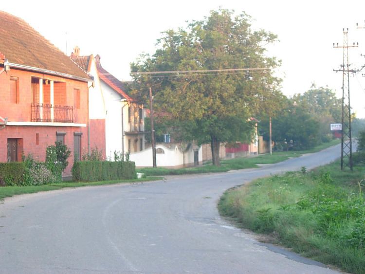
Map of Zagajica, Serbia
Name
In Serbian, the village is known as Zagajica (Загајица), in Hungarian as Fürjes, and in Croatian as Zagajica. The nearby Zagajička Brda (Zagajica Hills) are named after this village.
Geography
Zagajica is located 53.4 miles from Belgrade. The coordinates of the village are 44.97806 N 21.22444 E.
Historical population
References
Zagajica Wikipedia(Text) CC BY-SA