
Country Poland Gmina Walim | Local time Sunday 5:00 PM | |
 | ||
Weather 16°C, Wind SW at 13 km/h, 56% Humidity Voivodeship | ||
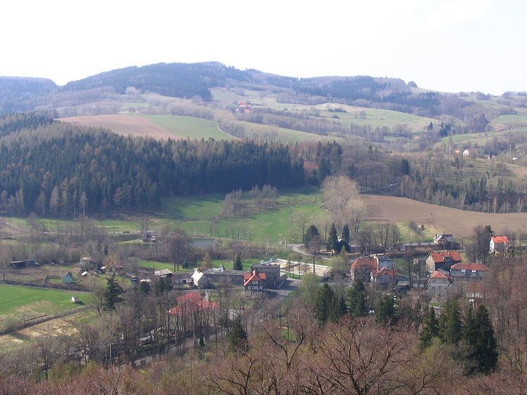
Zagórze Śląskie [zaˈɡuʐɛ ˈɕlɔ̃skʲɛ] (German: Kynau) is a village in the administrative district of Gmina Walim, within Wałbrzych County, Lower Silesian Voivodeship, in south-western Poland.
Contents
Map of Zag%C3%B3rze %C5%9Al%C4%85skie, Poland
The settlement within the northern Owl Mountains lies approximately 7 kilometres (4 mi) north-west of Walim, 10 kilometres (6 mi) south-east of Wałbrzych, and 62 kilometres (39 mi) south-west of the regional capital Wrocław.
History
Zagórze Śląskie arouse at the foot of Grodno Castle (Kynsburg) built in the late 13th century by Duke Bolko I the Strict as a fortress near the border with the Kingdom of Bohemia. After it had fallen to the Bohemian crown in 1368 it was held as a fief by various possessors, among them the Counts of Hoberg at Książ until 1567 and Prince Michael the Brave of Wallachia.
Before 1945 the village was part of Germany and known as Kynau.