
Lowest elevation 0 m (0 ft) Postal code 251 00 Local time Sunday 4:25 PM | Highest elevation 400 m (1,300 ft) Time zone EET (UTC+2) Vehicle registration AX Municipality Aigialeia | |
 | ||
Weather 19°C, Wind E at 11 km/h, 43% Humidity | ||
Zachloritika (Greek: Ζαχλωρίτικα) is a village in the municipal unit of Diakopto, Achaea, Greece. It is located on the left bank of the river Vouraikos, 1 km west of Diakopto. The Greek National Road 8A (Patras - Aigio - Corinth) passes south of the village. In 2011 Zachloritika had a population of 339.
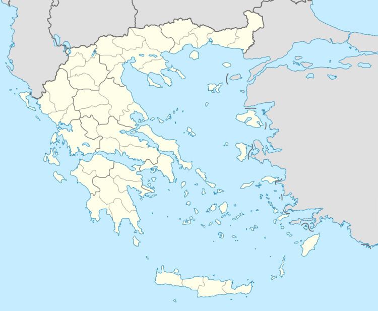
Map of Zachloritika 250 03, Greece
References
Zachloritika Wikipedia(Text) CC BY-SA