
Country Poland Car plates DZA Capital Ząbkowice Śląskie | Seat Ząbkowice Śląskie Area 801.8 km² | |
 | ||
Gminas Total 7
Gmina Bardo
Gmina Ciepłowody
Gmina Kamieniec Ząbkowicki
Gmina Stoszowice
Gmina Ząbkowice Śląskie
Gmina Ziębice
Gmina Złoty Stok Voivodeship Lower Silesian Voivodeship Points of interest Muzeum Górnictwa i Hutnictwa, Fort Srebrna Góra, Leśny Park Przygody Skalisko, Marianne's Palace, Krzywa Wieża | ||
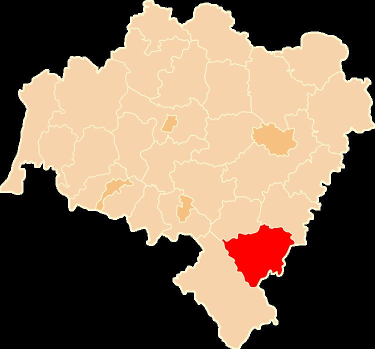
Ząbkowice Śląskie County (Polish: powiat ząbkowicki) is a unit of territorial administration and local government (powiat) in Lower Silesian Voivodeship, south-western Poland. It came into being on January 1, 1999, as a result of the Polish local government reforms passed in 1998. The county covers an area of 801.75 square kilometres (309.6 sq mi). Its administrative seat is Ząbkowice Śląskie, and it also contains the towns of Ziębice, Złoty Stok and Bardo.
Contents
- Map of ZC485bkowice C59AlC485skie County Poland
- Neighbouring counties
- Administrative division
- References
Map of Z%C4%85bkowice %C5%9Al%C4%85skie County, Poland
As at 2006 the total population of the county is 69,297, out of which the population of Ząbkowice Śląskie is 16,242, that of Ziębice is 9,234, that of Złoty Stok is 2,930, that of Bardo is 2,860, and the rural population is 38,031.
Neighbouring counties
Ząbkowice Śląskie County is bordered by Kłodzko County to the south-west, Dzierżoniów County to the north-west, Strzelin County to the north-east and Nysa County to the east. It also borders the Czech Republic to the south.
Administrative division
The county is subdivided into seven gminas (four urban-rural and three rural). These are listed in the following table, in descending order of population.