
Established 1937 Area code 022 | PO box 7351 | |
 | ||
Yzerfontein is a small harbour town with about 1200 inhabitants on the west coast of South Africa about 90 km north of Cape Town. The name in Dutch or Afrikaans means "Iron Fountain". The main sources of income are tourism (especially during the wildflower season from August to October), mining and fishing.
Map of Yzerfontein, 7351, South Africa
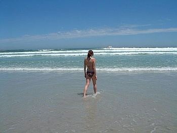
Yzerfontein is known for its Sixteen Mile Beach, the longest uninterrupted sandy beach on the South African coastline, stretching north from the main beach of the town, to the West Coast National Park, which borders the town. Dassen Island, another nature reserve, is about 10 km offshore.
Yzerfontein is the landing point for the ACE and WACS submarine communications cables.
Outside of the town is the Darling Wind Farm. This is producing power and there are plans for expansion.
The Yzerfontein salt pan is a 116 hectares (287 acres) coastal salt pan, just northeast of the town. It was formerly mined for salt, and is currently mined for gypsum.