
Country China Time zone China Standard (UTC+8) Prefecture-level division Hotan Prefecture | Prefecture-level divisions Hotan Prefecture Province Xinjiang | |
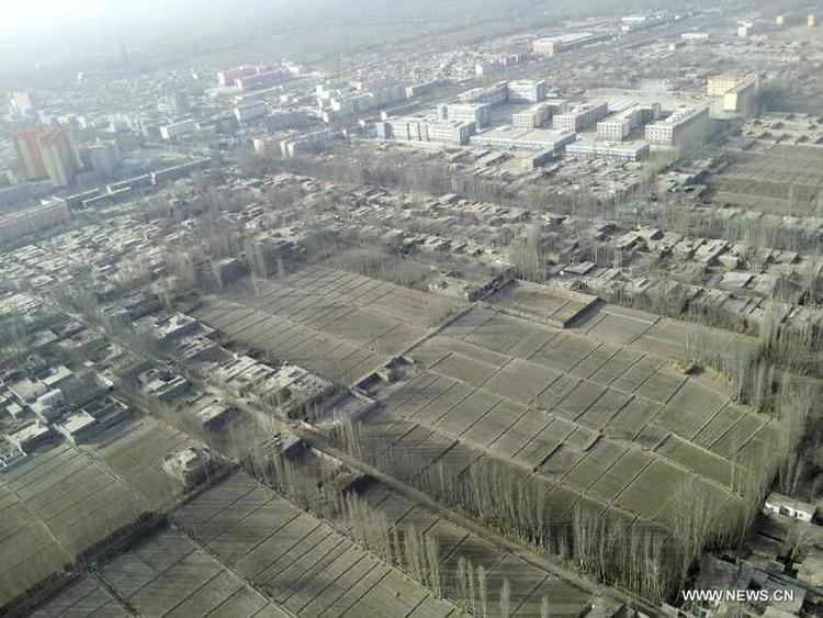 | ||
Yutian (Yútián) County (Chinese: 于田县, Pinyin: Yútián Xiàn; Uyghur: كېرىيە ناھىيىسى, Керийә Наһийиси, ULY: Kériye Nahiyisi, UYY: Keriyə Nah̡iyisi?) or Keriya (Kériye) County is a county within the Xinjiang Uyghur Autonomous Region and is under the administration of the Hotan Prefecture. It contains an area of 39,023 km². According to the 2002 census, it has a population of 220,000. Its government is located at Keriya Town.
Contents
Map of Keriya, Hotan, Xinjiang, China
Name
The county derives its name from the Kingdom of Khotan, although the official name was written as "于阗" at the time. This was latter changed to "玉田" (literally, Jade Field) following the adoption of Simplified Chinese, and eventually to "于田".
Yutian County is dubbed the "Home of Jade"
History
Yutian County (于阗 县) was formed in 1882, its administrative center was Karakash, and Keriya was only a post station. In 1885, the administrative center of the county was moved to Keriya. The ancient name of Keriya was Ganmi (Gyuymi, Umi). The names Yutian and Ganmi were used by the Chinese envoy Zhang Qian in his 125 BCE report on his embassy's travels.
Administrative division
Yutian County consists of 2 villages and 13 parishes.