
Elevation 2,400 m | ||
 | ||
Similar Wadakapiapué‑tepui, Karaurín‑tepui, Uei‑tepui, Ilú–Tramen Massif, Wei‑Assipu‑tepui | ||
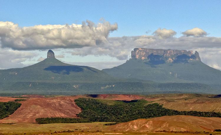
Yuruaní-tepui, also known by the Pemón name Iwalkarima, Iwalecalima or Iwarkárima, is a tepui of the Eastern Tepuis chain primarily situated in Venezuela, while part of the eastern ridge stretches into the disputed Guayana Esequiba territory in Guyana. It has an elevation of around 2,400 metres (7,900 ft), the high plateau being located entirely within Venezuela, and a summit area of 4.38 km2 (1.69 sq mi). It lies just east of the much smaller Wadakapiapué-tepui. This Tepui is not located in the Canaima National Park unlike most other Tepuis in the area.
Map of Yuruan%C3%AD-tepui, Bol%C3%ADvar, Venezuela
References
Yuruaní-tepui Wikipedia(Text) CC BY-SA