
Elevation 2,810 m | ||
 | ||
Similar Wadakapiapué‑tepui, Wei‑Assipu‑tepui, Mount Roraima, Uei‑tepui, Karaurín‑tepui | ||
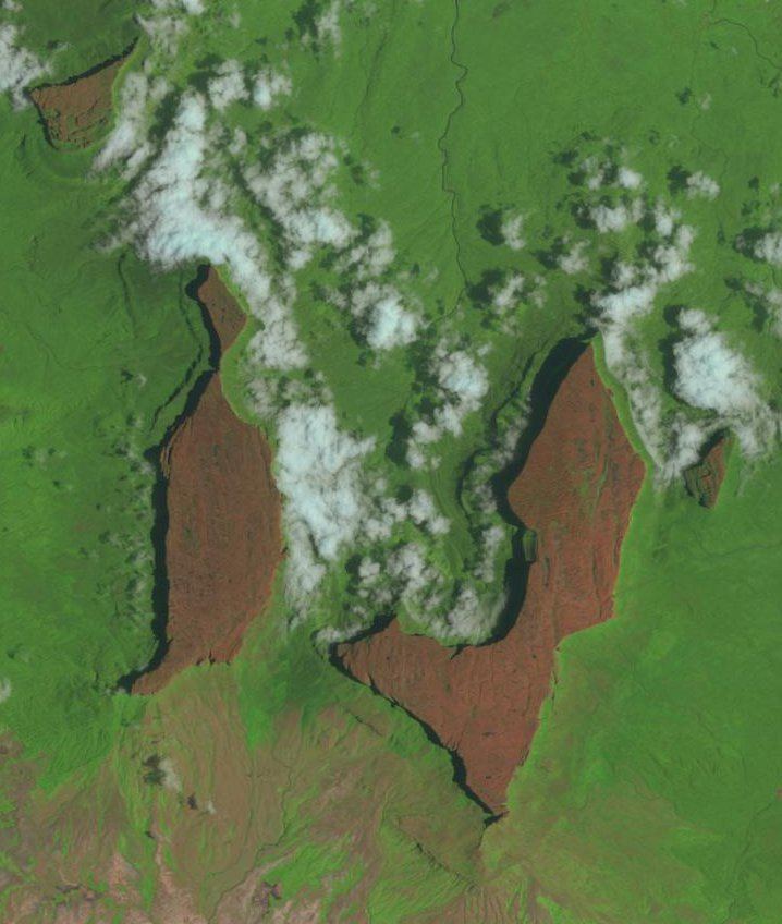
The Eastern Tepuis (Spanish: Tepuyes Orientales), also known as the Roraima–Ilú range, is a mountain chain stretching for some 60 kilometres (37 mi) along the border between the disputed territory of Guayana Esequiba in Guyana, Venezuela and, to a small extent, Brazil. It runs in a northwesterly direction from the tripoint of these countries, closely following the Guyana–Venezuela border, with a single major peak (Uei-tepui) to the south, on the Brazil–Venezuela border. Moving northwest from Uei-tepui (2,150 m), the main summits of this chain are Roraima-tepui (2,810 m), Kukenán-tepui (2,650 m), Yuruaní-tepui (2,400 m), Wadakapiapué-tepui (2,000 m), Karaurín-tepui (2,500 ), Ilú-tepui (2,700 m), and Tramen-tepui. The minor peak of Wei-Assipu-tepui lies entirely outside Venezuela, on the border between Brazil and Guyana. Additionally, there are a number of minor plateaus which form a chain between Uei-tepui and Roraima-tepui. Ilú- and Tramen-tepuis are often treated together since they are joined by a common base.
Map of Eastern Tepuis, Bol%C3%ADvar, Venezuela
The Eastern Tepuis chain has a total summit area of around 70 km2 (27 sq mi) and an estimated slope area of 320 km2 (120 sq mi). It includes some of the best known and most widely visited tepuis, particularly Roraima and nearby Kukenán.