
Population 183 (2006 census) Postcode(s) 4427 State electorate(s) Warrego Postal code 4427 | Established 1878 LGA(s) Maranoa Region Federal Division(s) Maranoa Local time Sunday 2:42 PM | |
 | ||
Weather 27°C, Wind S at 6 km/h, 35% Humidity Location 420 km (261 mi) west of Brisbane; 294 km (183 mi) west of Toowoomba; 61 km (38 mi) east of Roma | ||
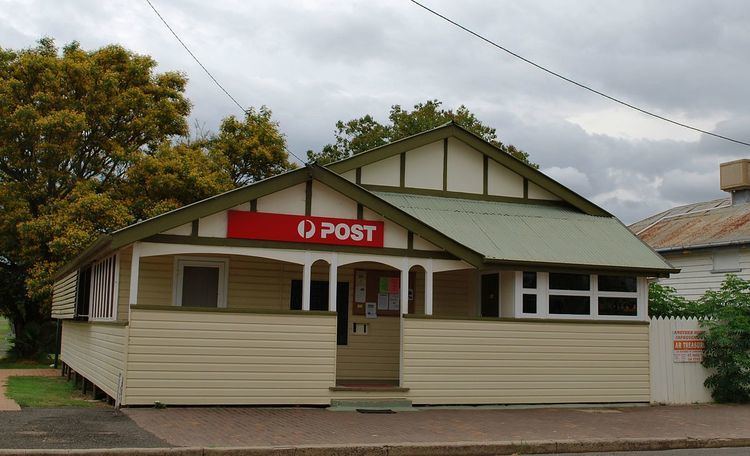
Yuleba (/ˈjuːləbə/ EW-lə-bə) is a town in the Maranoa district of South West Queensland, Australia, located 420 kilometres (260 mi) west of the state capital, Brisbane along the Warrego Highway. At the 2006 census, Yuleba had a population of 183.
Contents
Map of Yuleba QLD 4427, Australia
History
The town is said to be named after an Aboriginal word meaning "the place of water lilies". Due to an error in assembling a sign for the railway station, the station and the town were known as Yeulba. In 1938, the name was changed to the original intended name of Yuleba.
Yuleba was established in 1878 and was connected to the railway in 1879. As a railhead for the region to the west, the town was an important centre until the railway was extended again to Roma in 1910. The last Cobb and Co stagecoach run, on 16 August 1924, ran between Yuleba and Surat.
Economy
Today, Yuleba is the site of a modern mining and processing facility working a high grade silica deposit.
Amenities
The town has a small public library that services the community.