
Prefecture-level city Xiangtan Province Hunan | Time zone China Standard (UTC+8) | |
 | ||
Country People's Republic of China Points of interest Shiyanhu Ecological Park, Juhuatang Park (East Gate 2), Gaofengta, Hunan Shangshui, Niu'ewan | ||
How to pronounce yuetang district pronouncenames com
Yuetang District (simplified Chinese: 岳塘区; traditional Chinese: 岳塘區; pinyin: Yuètáng Qū) is one of two urban districts in Xiangtan City, Hunan Province, China. Located in the eastern region of the city proper and on the northeastern shoreside of the Xiang River, the district is bordered to the north by Tianxin and Yuhua Districts of Changsha City, to the east by Shifeng and Tianyuan Districts of Zhuzhou City, to the south by Xiangtan County, to the west by Hetang District. Yuetang District covers 206.4 km2 (79.7 sq mi), as of 2015, it had a registered population of 350,300 and resident a population of 467,800. The district has 14 subdistricts and a town under its jurisdiction, the government seat is at Bantang Subdistrict (板塘街道).
Contents
- How to pronounce yuetang district pronouncenames com
- Map of Yuetang Xiangtan Hunan China
- Administrative divisions
- References
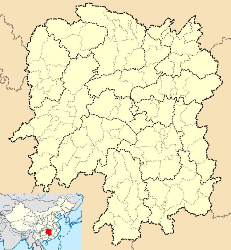
Map of Yuetang, Xiangtan, Hunan, China
Administrative divisions
According to the result on adjustment of subdistrict divisions of Yuetang District on November 19, 2015, Yuetang District has 14 subdistricts and a township under its jurisdiction. they are: