
Time zone China Standard (UTC+8) Website yjx.gov.cn Local time Sunday 8:45 AM Area code 0877 | Elevation 396 m (1,299 ft) Postal code 653300 Area 2,858 km² | |
 | ||
Country People's Republic of China Weather 26°C, Wind SW at 8 km/h, 52% Humidity Points of interest The World Wide Highest Bridge Tourist Attraction | ||
Yuanjiang Hani, Yi and Dai Autonomous County (Chinese: 元江哈尼族彝族傣族自治县; pinyin: Yuánjiāng Hānízú Yízú Dǎizú Zìzhìxiàn) is a county of south-central Yunnan province, People's Republic of China. The county seat is the town of Lijiang (澧江镇), while the county itself is under the administration of Yuxi City. It derives its name from the Red River (Asia), which is known as the Yuan River (元江) in Yunnan, and is an important provincial crossroads for access to Southeast Asia.
Contents
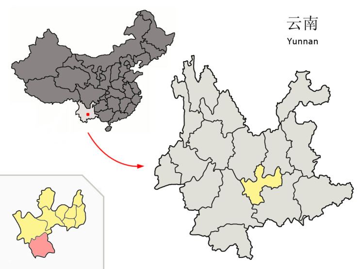
Map of Yuanjiang, Yuxi, Yunnan, China
Hani
The Yuanjiang County Almanac (1993:81) lists the following Hani subgroups.
Yi
The Yuanjiang County Almanac (1993:89) lists the following Yi subgroups.
Dai
The Yuanjiang County Almanac (1993:94) lists the following Dai subgroups and their respective locations.
Bai
The Yuanjiang County Almanac (1993:100) lists the following locations for ethnic Bai.
Languages
Bai (2010:148) lists the following languages spoken in Yinyuan Town 因远镇, Yuanjiang County.
Climate
Due to its location at the bottom of a deep mountainous river valley, Yuanjiang lies at the junction of three different climate types, namely the tropical savanna climate (Köppen Aw), humid subtropical climate (Köppen Cwa) and, uniquely for China, the hot subtype of a semi-arid climate (Köppen Bsh). There are two main seasons: a dry season lasting from late November to early April, with mostly warm and dry weather (and the occasional cold snap) and the wet season covering May through September. The coolest months are December and January, which each average 18.1 °C (64.6 °F), and the hottest is June, at 29.7 °C (85.5 °F).