Established 1914 Founded 1914 Postal code 6383 Federal division Division of O'Connor | Postcode(s) 6383 Elevation 274 m Local time Sunday 6:59 PM | |
 | ||
Weather 20°C, Wind SE at 11 km/h, 33% Humidity | ||
Yoting is a small town located between Quairading and Bruce Rock in the Wheatbelt Region of Western Australia.
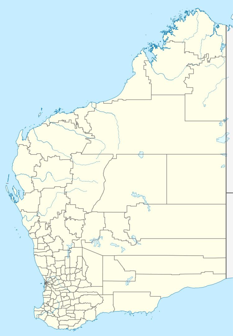
Map of Yoting WA 6383, Australia
Originating as a station on the Quairading to Bruce Rock railway line when it was established in 1912. Lots were surveyed in early 1914 and the townsite was gazetted later the same year.
The name is Aboriginal in origin and was taken from the nearby Yoting well. The well or spring first appeared on maps in 1873. Bruce Leake, an early settler, noted that the words Yot means two women fighting with wannas or Digging sticks.
The surrounding areas produce wheat and other cereal crops. The town is a grain receival site for Cooperative Bulk Handling.
References
Yoting, Western Australia Wikipedia(Text) CC BY-SA
