Population 117 (2006 census) | ||
 | ||
Weather 24°C, Wind E at 14 km/h, 25% Humidity | ||
Yorkrakine is a small town in the Wheatbelt region of Western Australia, and is part of the Shire of Tammin, 203 kilometres (126 mi) east of the state capital, Perth. At the 2006 census, Yorkrakine had a population of 117.
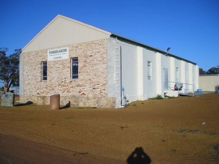
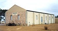
The locality was once home to a school and general store but declining population and improved transport links have seen them both close. The Agricultural Hall (built in 1926) continues to host community functions.
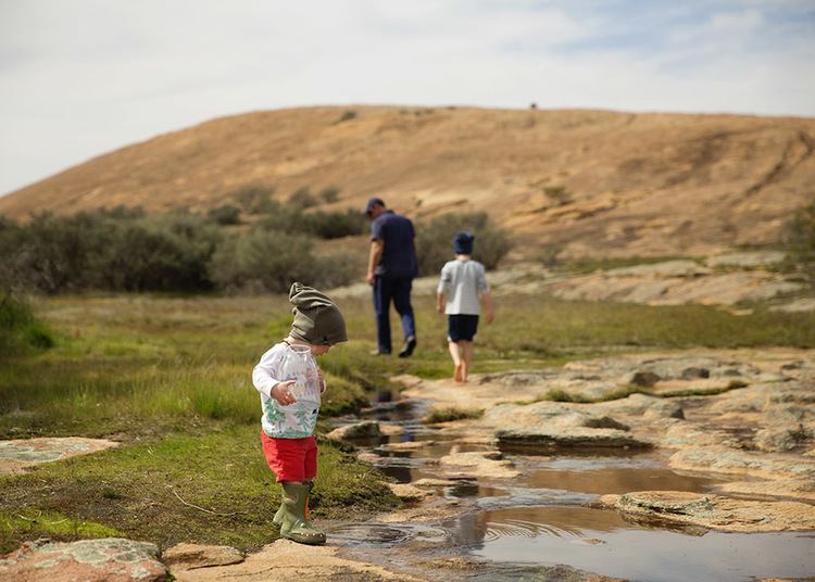
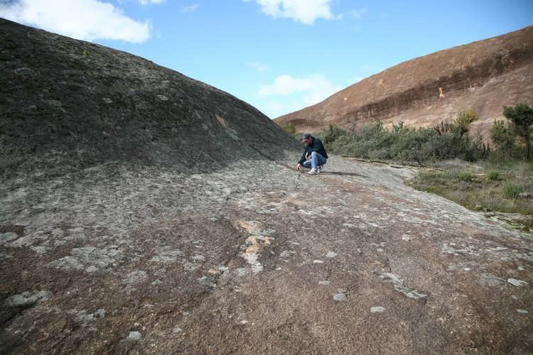
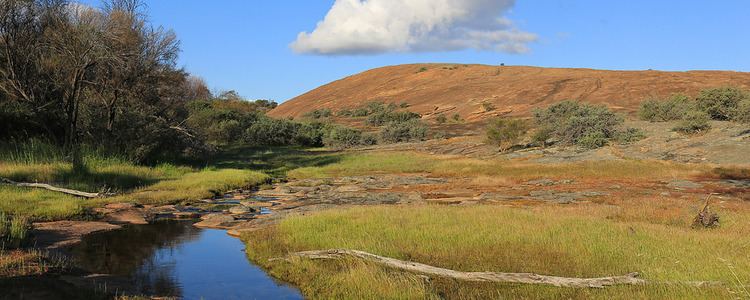
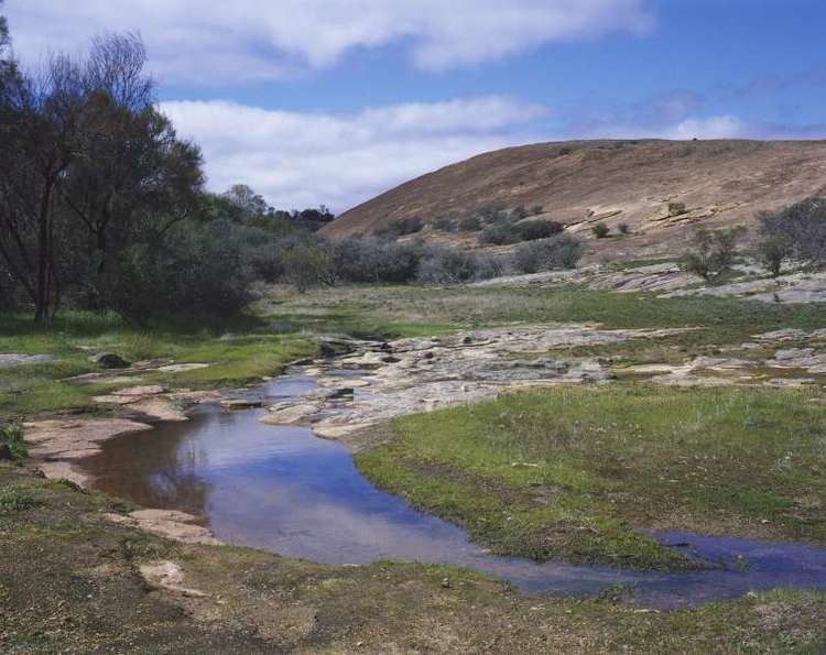
Major landmarks include Yorkrakine Rock, a large granite rock located on Yorkrakine Rock Rerve on the Tammin Wyalkatchem Road which is a popular spot for picnic's and bush walking.
The West Yorkrakine Cricket Club is the only remaining sport team from the area and plays in the Wyalkatchem Cricket Association.
The area was first settled in 1908 as part of a farm settlement scheme instigated by the then Minister for Lands and Agriculture, Sir James Mitchell.
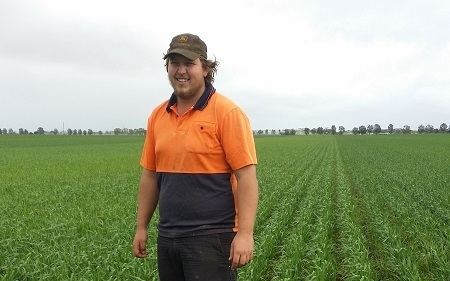
The surrounding areas produce wheat and other cereal crops. The town is a receival site for Cooperative Bulk Handling.