
District Ōsato Population 34,010 (Feb 2016) | Region Kantō Local time Sunday 5:30 PM | |
 | ||
Weather 14°C, Wind NW at 21 km/h, 65% Humidity Points of interest Hachigata Castle, Saitama Kenritsu Kawano, Hachigatajo Park, Tōbu Tōjō Line, Shōryū‑ji Temple | ||
Yorii (寄居町, Yorii-machi) is a town in Ōsato District, Saitama Prefecture, in the central Kantō region of Japan. As of 1 February 2016, the town had an estimated population of 34,010 and a population density of 529 persons per km². Its total area was 64.25 square kilometres (24.81 sq mi).
Contents
- Map of Yorii Osato District Saitama Prefecture Japan
- Geography
- Surrounding municipalities
- History
- Economy
- Education
- Railway
- Highway
- Sister city relations
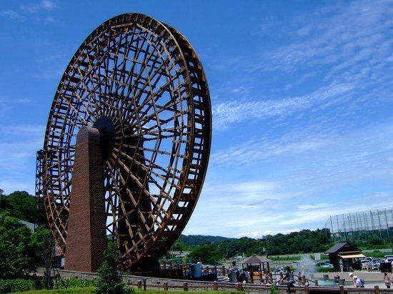
- Local attractions
- References
Map of Yorii, Osato District, Saitama Prefecture, Japan
Geography
Located in western Saitama Prefecture, Yorii is on the central reaches of the Arakawa River and is approximately 70 kilometers from downtown Tokyo.
Surrounding municipalities
History
Yorii developed as a post station on the pilgrimage route to the temples of the Chichibu area from the Kamakura period, and was a castle town to Hachigata Castle during the Sengoku period. The town of Yorii was created within Hanzawa District, Saitama with the establishment of the municipalities system on April 1, 1889. Hanzawa District was abolished in 1896, becoming part of Ōsato District.
In February 1955, the town expanded by annexing the neighboring villages of Orihara, Hachigata, Obusuma, and Yodo.
Economy
Honda has an automobile assembly plant in Yorii, which is a major local employer.
Education
Yorii has six elementary schools, three junior high schools and one high school.