
Population 18,319 (Feb 2016) | Region Kantō Area 29.92 km² Local time Saturday 3:22 AM | |
 | ||
Weather 1°C, Wind NW at 18 km/h, 59% Humidity Points of interest Saitama Kenritsu Ranzan S, Chonosato Park, Kinsenji, Tōbu Tōjō Line | ||
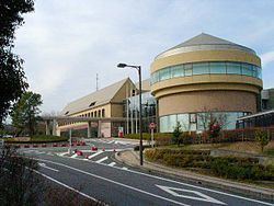
Ranzan (嵐山町, Ranzan-machi) is a town located in Hiki District, Saitama Prefecture, in the central Kantō region of Japan. As of 1 February 2016, the town had an estimated population of 18,319 and a population density of 612 persons per km². Its total area was 29.92 square kilometres (11.55 sq mi).
Contents
- Map of Ranzan Hiki District Saitama Prefecture Japan
- Geography
- Surrounding municipalities
- History
- Economy
- Education
- Railway
- Highway
- Local attractions
- References
Map of Ranzan, Hiki District, Saitama Prefecture, Japan
Geography
Ranzan is located in central Saitama Prefecture.
Surrounding municipalities
History
The villages of Sugaya and Nanasato were created within Hiki District, Saitama with the establishment of the municipalities system on April 1, 1889. The two villages merged on April 15, 1955 as Sugaya village, which was elevated to town status on April 15, 1967, taking the name of Ranzan.
Economy
The economy of Ranzan is primarily agricultural.
Education
Ranzan has three elementary schools, three middle schools and one high school.