
Postcode(s) 2680 Postal code 2680 | Local time Sunday 6:10 PM Population 927 (2011 census) | |
 | ||
Weather 14°C, Wind SW at 31 km/h, 39% Humidity | ||
Hanwood vs yoogali s c
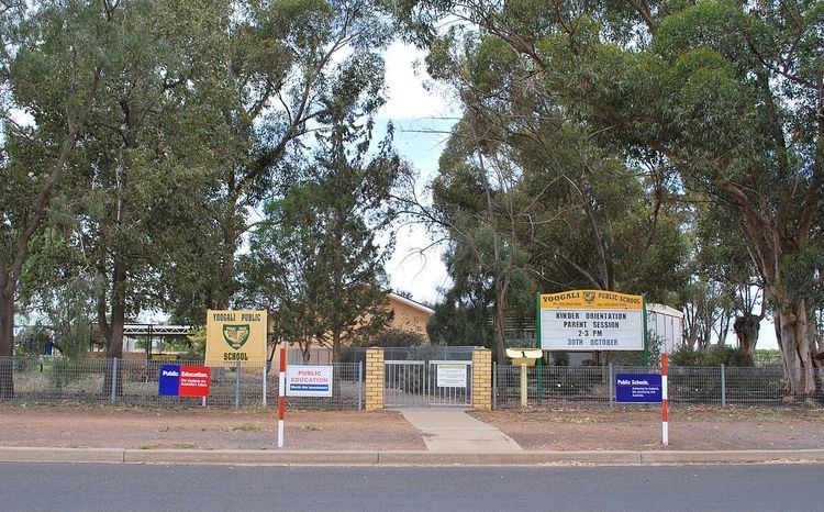
Yoogali is a small town in the local government area of the City of Griffith in the Australian state of New South Wales. It is situated between Griffith and Yenda, just outside the Moorevile industrial estate. At the 2011 census, Yoogali had a population of 927.
Contents
- Hanwood vs yoogali s c
- Map of Yoogali NSW 2680 Australia
- Kindergarten st mary s yoogali
- History
- Today
- References
Map of Yoogali NSW 2680, Australia
Kindergarten st mary s yoogali
History
Yoogali Post Office opened on 17 March 1924 and closed in 1991.
Today
It currently houses a beautician, a club, service station and a general store. The General Store is renowned in the Griffith area for its unique range of Italian cuisine and products, as well as delights from other cultures. The intersection in Yoogali is one of the top 100 worst intersections in NSW with numerous accidents. It is known as a blackspot area.
References
Yoogali Wikipedia(Text) CC BY-SA