
Country Thailand Time zone THA (UTC+7) Area 200.5 km² Province Narathiwat Province | Seat Yi-ngo Postal code 96180 Population 44,817 (2014) Geocode 9604 | |
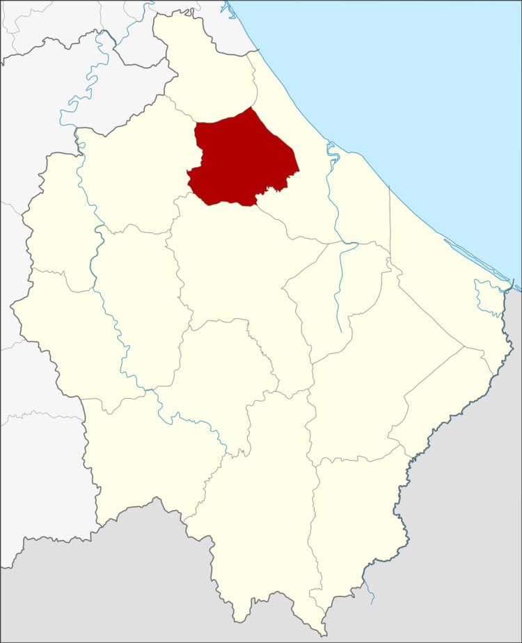 | ||
Yi-ngo (Thai: ยี่งอ) is a district (amphoe) of Narathiwat Province, southern Thailand.
Contents
- Map of Yi ngo District Narathiwat 96180 Thailand
- Geography
- History
- Central administration
- Local administration
- References
Map of Yi-ngo District, Narathiwat 96180, Thailand
Geography
Neighboring districts are (from the north clockwise) Bacho, Mueang Narathiwat, Ra-ngae and Rueso.
History
Yi-ngo was originally a district in the Sai Buri province. In 1909 it was reassigned to Bang Nara province, the present-day Narathiwat province.
Central administration
The district Yi-ngo is subdivided into 6 subdistricts (Tambon), which are further subdivided into 40 administrative villages (Muban).
Local administration
There is one subdistrict municipality (Thesaban Tambon) in the district:
There are 6 subdistrict administrative organizations (SAO) in the district:
References
Yi-ngo District Wikipedia(Text) CC BY-SA