
Vehicle registration TS Elevation 44 m | Time zone IST (UTC+5:30) | |
 | ||
Yerupalem or Yerrupalem or Errupalem is a Mandal in Khammam district, Telangana, India.
Contents
- Map of Yerrupalem Telangana 507201
- Villages in Yerrupalem Mandal
- Geography
- Road
- Rail
- Air
- Features
- References
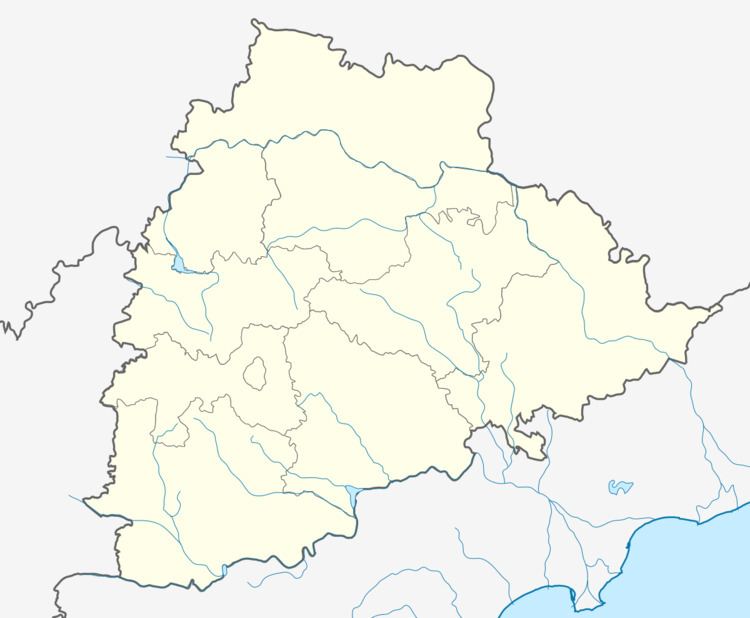
Map of Yerrupalem, Telangana 507201
Villages in Yerrupalem Mandal
There are 31 villages in yerrupalem mandal
Geography
Yerupalem is located at 16.8333°N 80.4667°E / 16.8333; 80.4667. It has an average elevation of 44 metres (144 ft).
Road
Yerupalem has a good road connectivity. It is located in Madhira-Vijayawada route.There are frequent bus services running between vijayawada and madhira.
Rail
Yerrupalem is located in the Railway line between Vijayawada and Warangal junctions .So it has a good rail connectivity to major stations like Vijayawada, khammam, Warangal and Hyderabad. The station code is YP.
Air
The nearest domestic airport is Vijayawada Airport (75 km) but the most used airport is the Hyderabad International Airport (269 km) because of its size and accessibility to international locations.
Features
There is a famous Sri Venkateswara swamy Temple in Jamalapuram village.