
OS grid reference TG293020 Sovereign state United Kingdom Area 221 ha | Civil parish Yelverton Post town NORWICH Local time Saturday 11:14 PM Postcode district NR14 Population 173 (2011 census) | |
 | ||
Weather 7°C, Wind S at 11 km/h, 90% Humidity | ||
Yelverton is a village and civil parish in the English county of Norfolk, situated some 5 miles (8.0 km) south east of Norwich and closely associated with Alpington.[1]
Map of Yelverton, UK
The civil parish has an area of 2.21 km2 (0.85 sq mi) and had a population of 186 in 62 households in the 2001 census, the population falling to 173 at the 2011 Census. For the purposes of local government, the parish falls within the district of South Norfolk.[2]
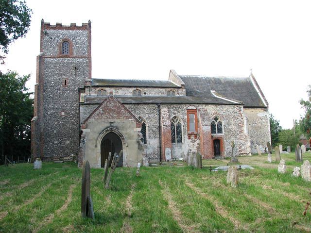
The village itself is just south of the A146 (on which lies Yelverton Garage) and is contiguous with Alpington to the south with which it shares its facilities, which include a duckpond, village hall and St. Mary's church.
References
Yelverton, Norfolk Wikipedia(Text) CC BY-SA